 ES
ESWhy hire our services?
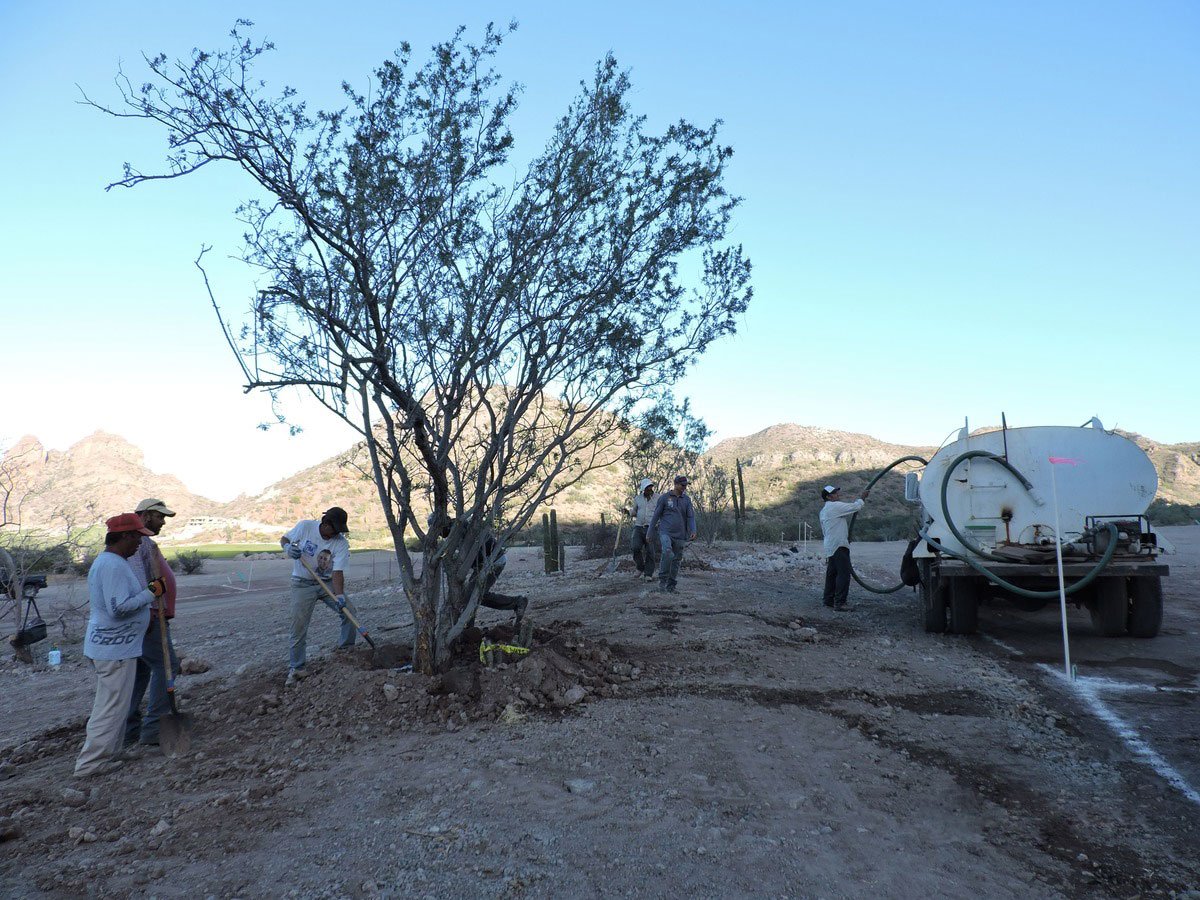
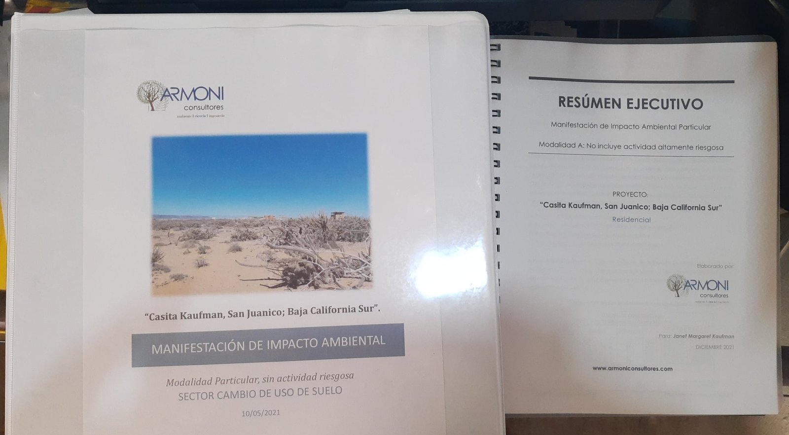
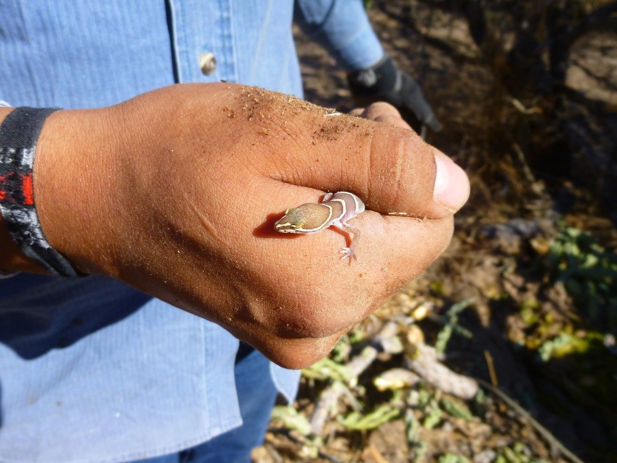
Compliance with current environmental and forestry legislation in Mexico is often complex and constantly changing. The environmental regulations for each project involve different agencies at the federal, state and/or local levels, generating uncertainty for developers. At ARMONI, we work hand in hand with our clients to accurately determine their needs, procedures, requirements and authorizations necessary for the construction and operation of their projects.